
Over Owler Tor - Peak District Walk
Thursday 3rd September 2015
Making the most of the time inbetween my operations I took the opportunity to enjoy a short walk in a familiar area along some new tracks.
Start: Surprise View car park (SK 2521 8010)
Route: Surprise View car park - Bolehill Quarry - Yanncliff Wood - Burbage Bridge - Carl Wark - Hathersage Moor - Over Owler Tor - Surprise View car park
Distance: 4.25 miles Ascent: 238 metres Time Taken: 3 hours 25 mins
Terrain: Clear tracks, boggy in places, with a couple of steep but short descents.
Weather: Mixture of cloud and sunshine, with a few spots of rain.
Pub Visited: None Ale Drunk: None

As I head down the road to the footpath the view extends across Lawrence Field

I first came across these millstones a couple of years ago when I was doing my first photography course.

I had never walked this path before and plan on returning on a misty day for some photographs of these trees.
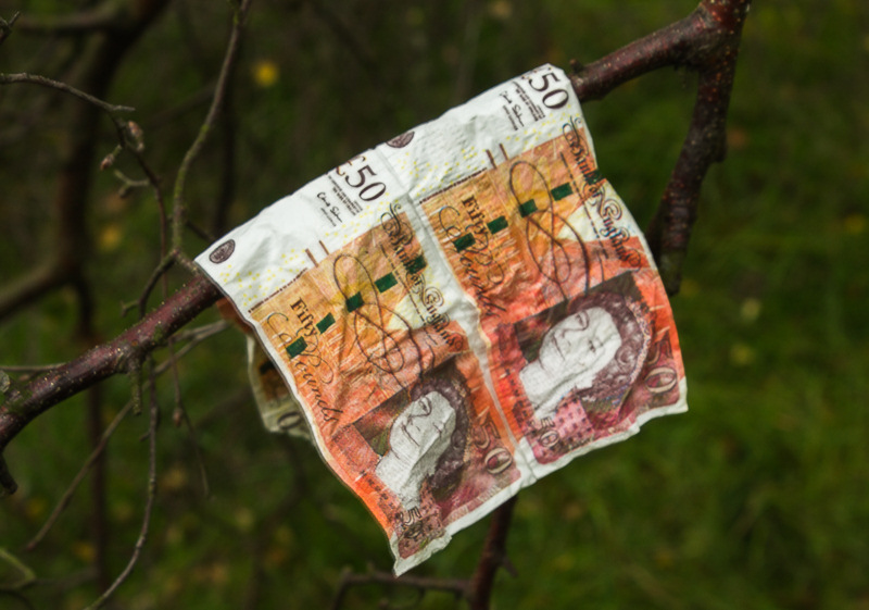
I didn't expect to find this money tree.

On one side of the path there is plenty of evidence of the old quarry.

My route took me uphill through the delightful Padley Wood.

During its route through Padley Wood Burbage Brook has a series of falls, these are the more accessible ones
at the top of the wood.

After leaving the wood the paths continues through the heather filled moor.

The view now includes Higger Tor and Carl Wark.

Carl Wark from Burbage Bridge. It has been a long time since
I've walked on this path alongside Burbage Brook.

My route wouldn't include Higger Tor today as it was here that I turned left across the moor.

Looking back to Carl Wark from the path across Hathersage Moor.

Stanage Edge from Hathersage Moor.

From the path to Over Owler Tor the view extends across Carl Wark to Burbage Rocks.

Following the path to Over Owler Tor.

As I appraoch Over Owler Tor the view opens up across Mitchell Field to include the Great Ridge and Kinder.

Looking across the valley to Win Hill from Over Owler Tor.

Heading back to the car park from Over Owler Tor I pass Mother Cap.
All pictures copyright © Peak Walker 2006-2023